

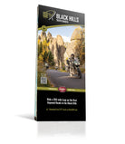
Black Hills, South Dakota - BDR-X Map
First Edition
Couldn't load pickup availability
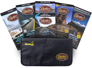
NOTE: This map, along with all the BDR-X maps, are produced solely by the BDR. While Butler Maps supplies all cartographic information, the design and printing are handled by them.
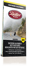
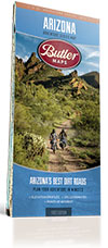
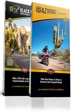
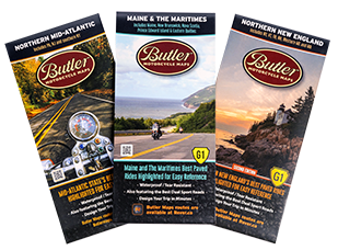
This abbreviated BDR route the perfect Midwest adventure, offering a 350-mile loop through stunning prairie landscapes, dense pine forests, and towering aspens. This diverse route delivers an exciting mix of gravel and dirt roads, rugged two-track, and some of the most exhilarating paved stretches in the region, winding through historic towns that helped shape the American West.
Riders will experience iconic landmarks such as Mount Rushmore, Needles Highway, Iron Mountain Road, Spearfish Canyon, Cement Ridge Lookout Tower, and the Custer Wildlife Loop, making for an unforgettable journey through the heart of the Black Hills. Every BDR-X map includes detailed inset boxes showcasing on-route amenities, such as fuel stops, nearby lodging, campgrounds, food, scenic overlooks, trailheads, and a master elevation profile. Printed on ultra-durable HopSyn waterproof, tear-resistant paper, this "Trail Tough" map ensures you're always prepared for the adventure ahead.