
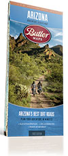


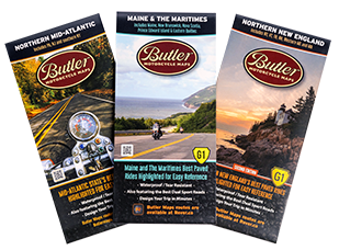
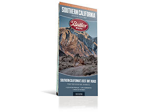
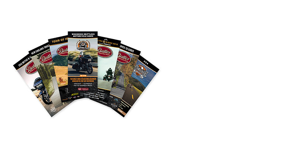


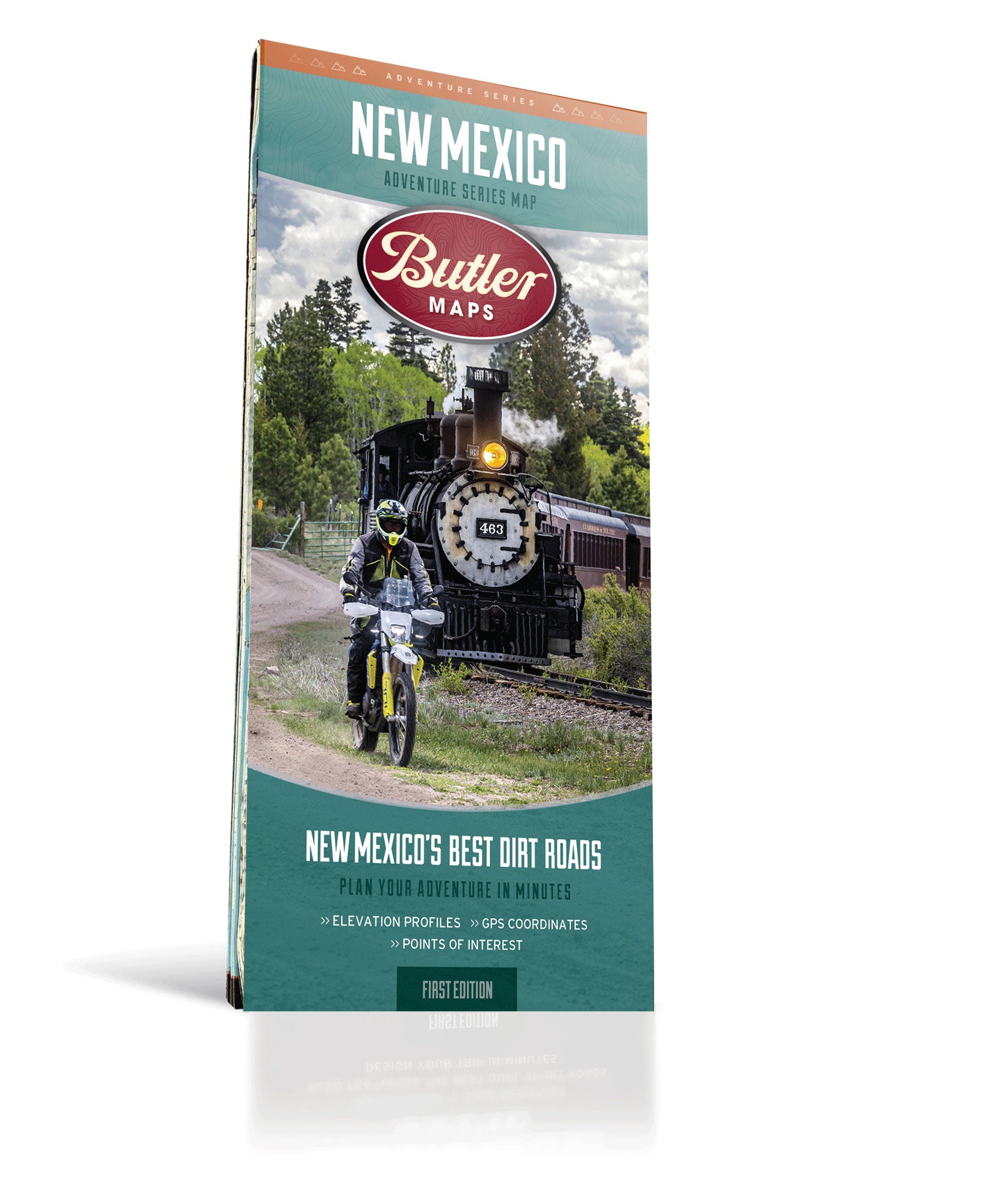
OUR MAPS ...
> Help you become the adventure hero by knowing the BEST places to ride.
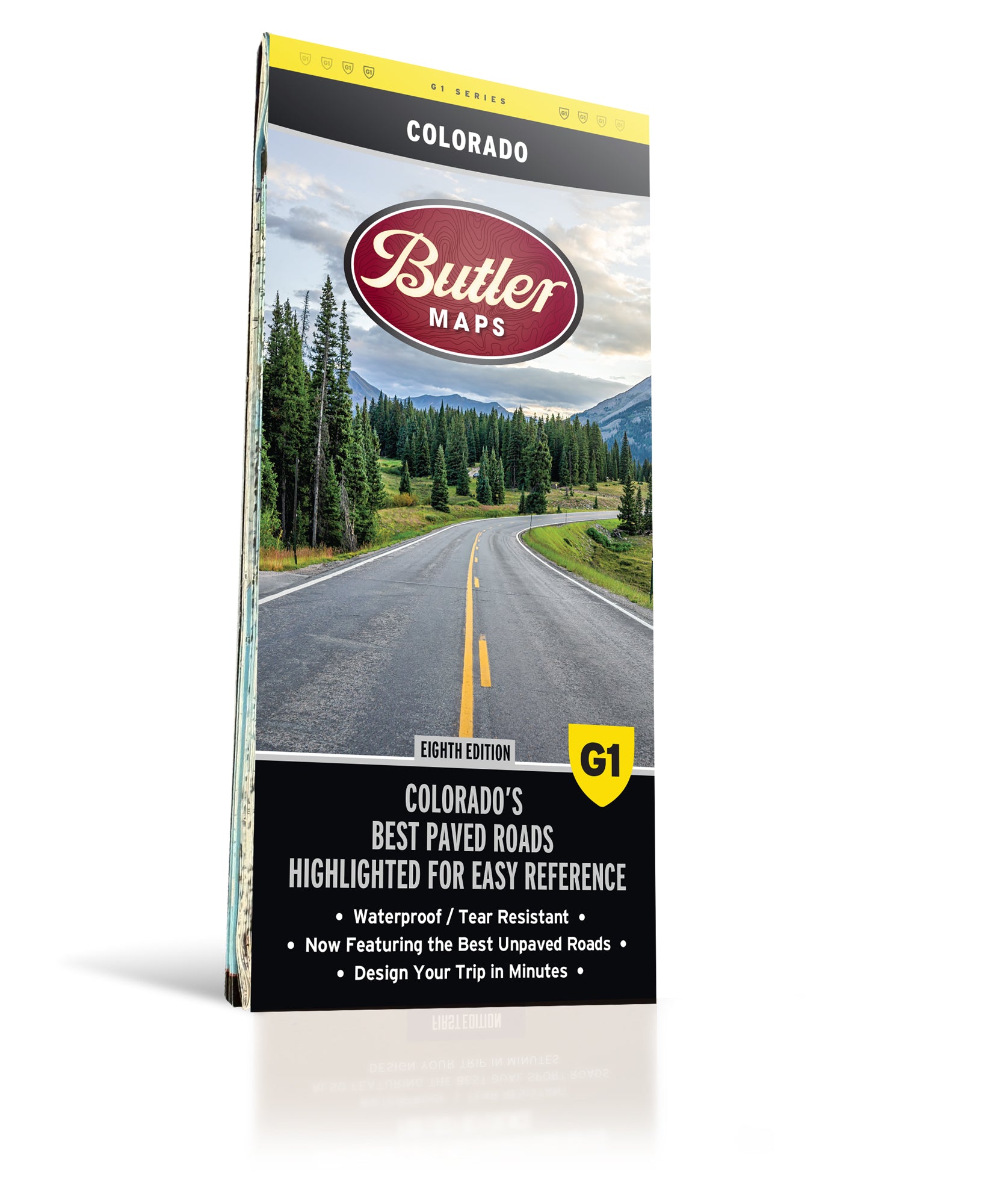
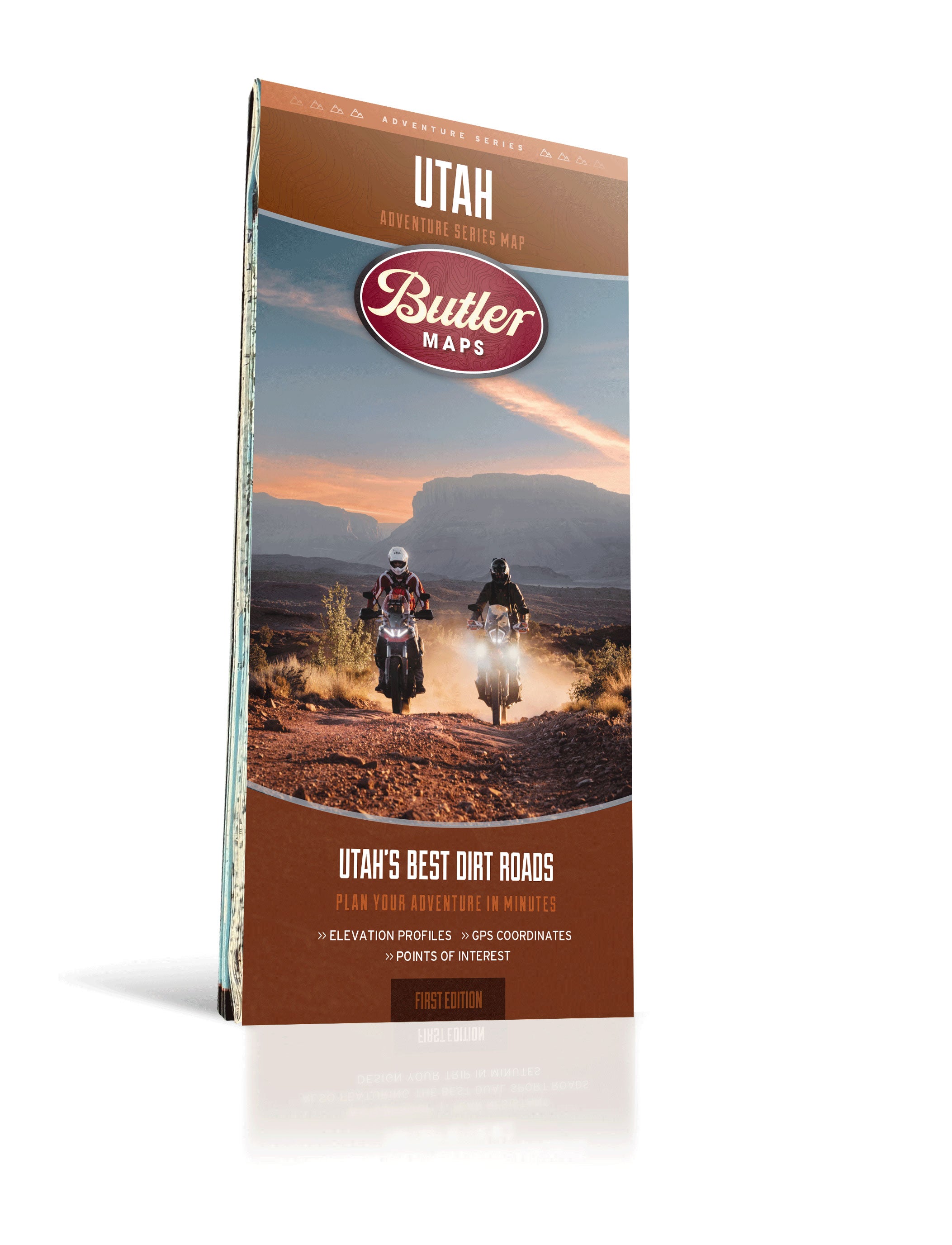
> Are waterproof, tear resistant, and incredibly tough.
> Highlight the best places to ride using our patented rating system.
Let customers speak for us
Well done. Sturdy for travel as well.

So excited to start our Route 66 trip and are now fully equipped with this great guide and map.

These a quality maps with great information

Love the fact it won't tear or get soaked in the ain , Great details
There is something special about having a regular paper map when you travel.
These are no ordinary maps. They are very thick and coated so they will last a very long time.
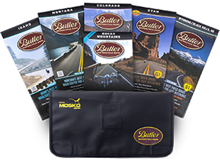
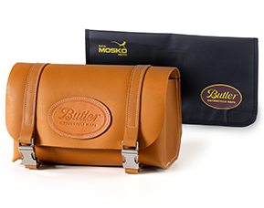
The bag is also very nice quality from Mosko Moto.
excellent product.

Wonderful details and accuracy. We are planning this trip with multiple riders and a GPS map will not do. We were able to see the whole route all at once, plan stops, plan overnight stays, thank you BUTLER MAPS.

Friendly staff! Nice tough paper.
I got the dirt trails version and wanted the Idaho BDR mapped iut on it too.
If they have your state, and you like riding your motorcycle, then these Butler maps deliver the most smiles per dollar than anything else you could buy. I can’t believe I just discovered them?!!! Great quality to stand up to the use my Colorado map is getting. Informative and organized well, makes me keep it on the kitchen table so I can plan my next ride. WOW.

We have long relied upon Butler Maps for both motorcycle and car adventures. Paper maps are always superior for planning, especially while on the road. This bundle provided those maps we have been missing in our collection. Cannot promote them more than what is described by the producers, so I will simple recommend them highly!

We have long relied upon Butler Maps for both motorcycle and car adventures. Paper maps are always superior for planning, especially while on the road. This bundle provided those maps we have been missing in our collection. Cannot promote them more than what is described by the producers, so I will simple recommend them highly!

as above

the map is top rate

Must have maps and guides. Made the journey easier and more enjoyable since we didn’t miss out driving on the some of the original roadway.

Well, just when you think things can't get better than the Butler Montana BDR map....the road map is is just as killer for riding my FXLRST in this wonderful State! I have a pretty nice collection of these maps now and do not take any trip without one or more. Keep up the great work, see ya'll on the road (trail).

Wish I would have bought this sooner, gonna make my trip planning much easier.
