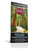
Best Paved Roads in Northern California - Northern California G1 Series Map
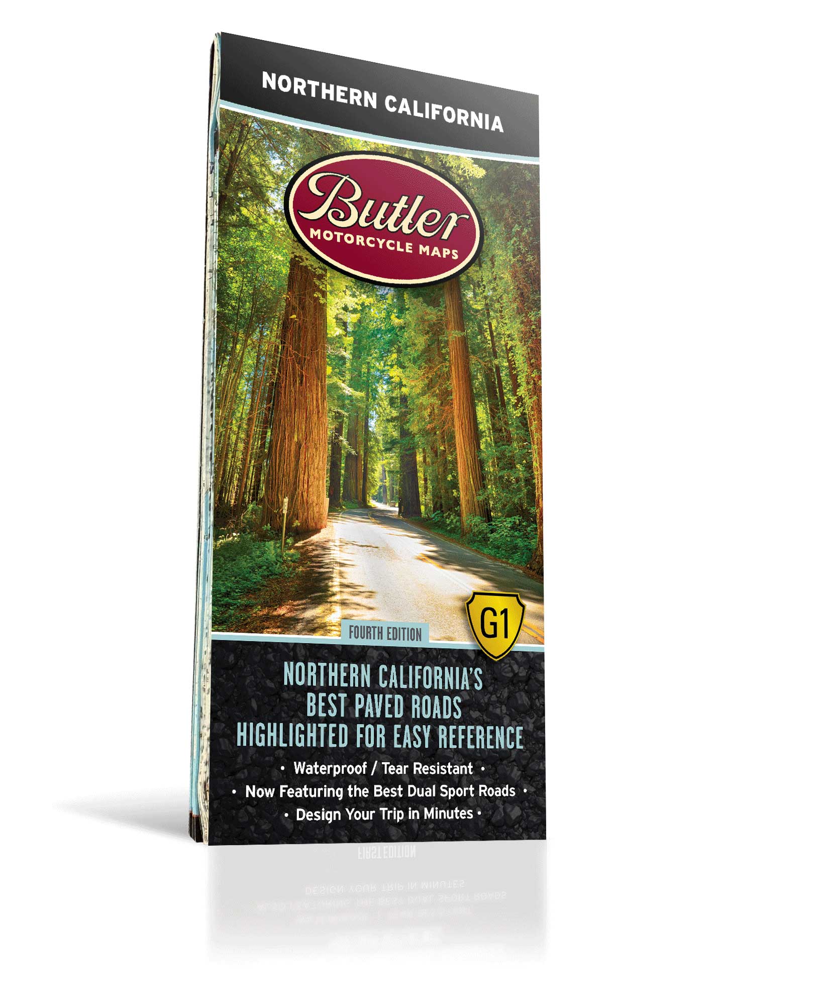
Fourth Edition
Couldn't load pickup availability
The Butler Maps Northern California G1-Series map covers the area from the Oregon border south to roughly the city of Watsonville on the Pacific Coast. In between are foggy coastlines, giant trees, granite spires and roads that cross them all. The Butler team rode over 30,000 miles to document and rate the roads you will see highlighted on this map. Think of roads like Hwy 299 - Trinity Hwy, Hwy 1 - Pacific Coast Hwy, Avenue of the Giants, Mt Hamilton Road and Grayback / Indian Creek Road in addition to amazing remote locations like The Lost Coast and Death Valley National Park. This map has them all and more.
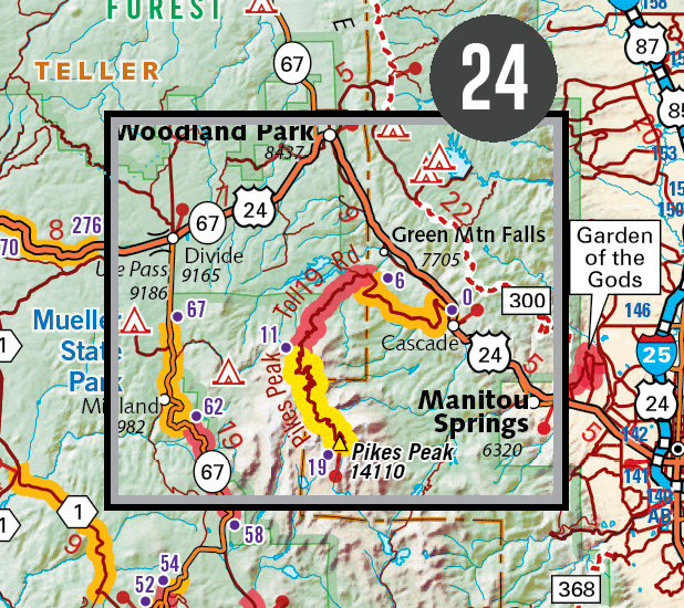
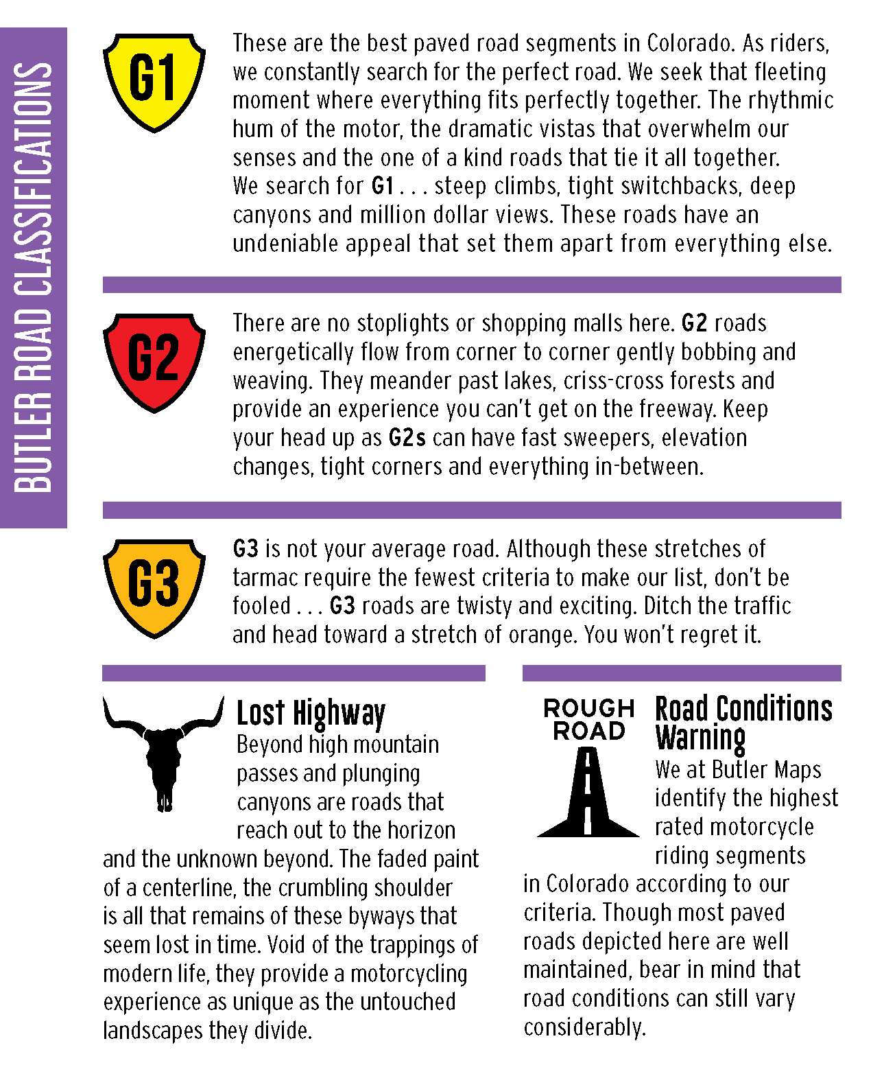
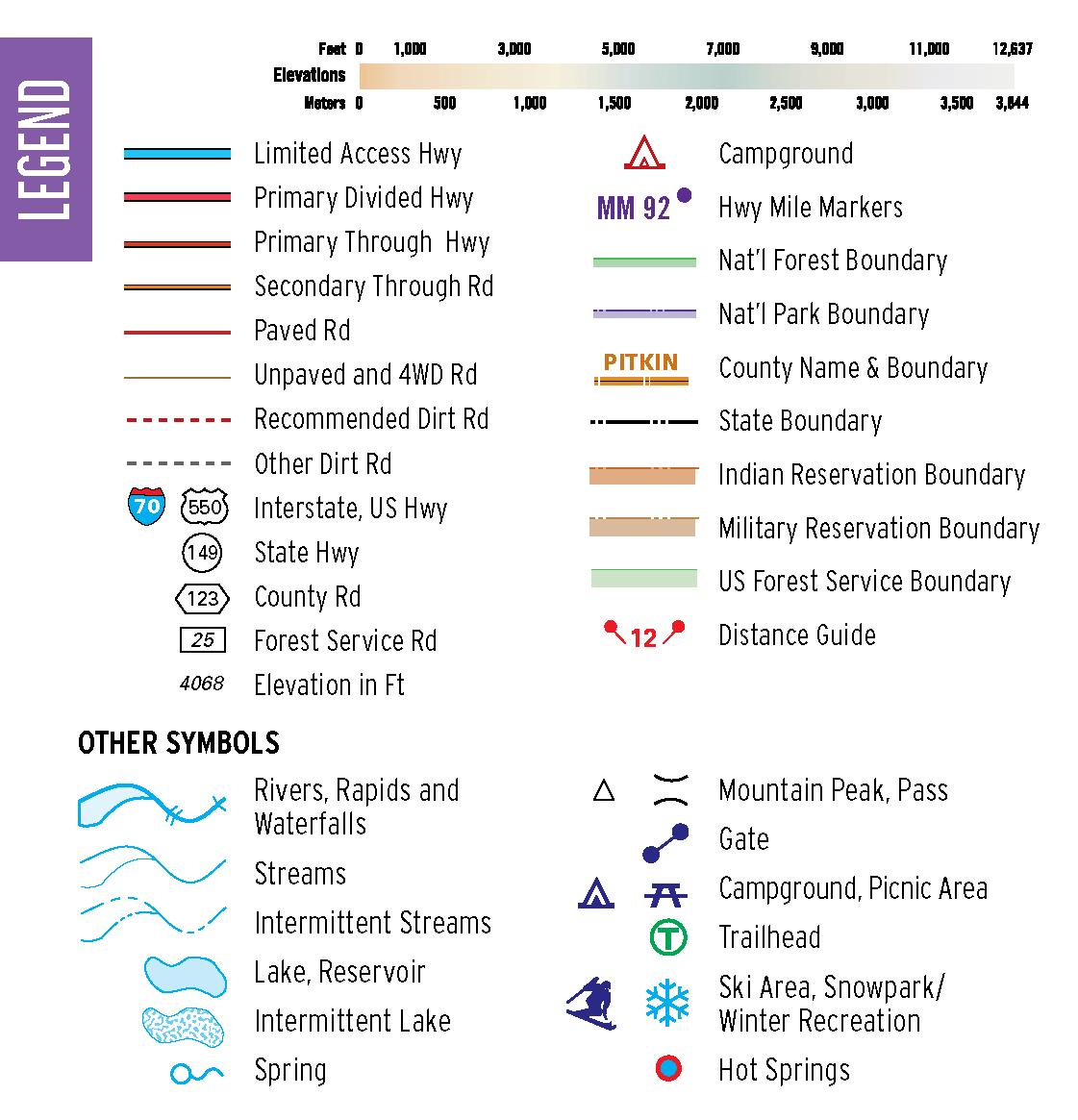
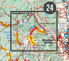
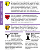
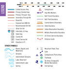
All Butler G1-Series maps provide detailed, easy to read information, specifically for motorcyclists. We’ve included thousands of miles of the most dramatic sections of paved and dirt roads highlighted in Butler Maps popular Gold, Red and Orange colors and are accompanied by crucial information about places to eat, sleep, fuel up and cool down. You will also find detailed inset boxes showcasing a complete list of campgrounds, town/pass elevations, trailheads, parking lots, scenic overlooks, interpretive trails, contour intervals, secondary/tertiary roads as well as all dirt thoroughfare options through the Sunshine State’s varied landscape.
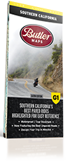
Every Butler Maps G1-Series map is printed on “Trail Tough" waterproof, tear-resistant paper called HopSyn. A full alpha-numeric grid is printed on the map to aid with navigation and orientation. All of our G1-Series paved road maps also feature over 40 recommended dual-sport roads so you can opt from the best paved sections of road to the best dirt sections of road simply by following the colors and icons. Like our Southern California map, this one also features Paved Mountain Trails. 'PMTs' as we call them, are those rough and crumbling excuses for a paved road that can make you beg for the freeway or laugh for miles depending on the type of bike you are on. Look for the little green triangles on the map that point these out and don't say we didn't warn you... or thank us that we did. Find the best riding, with the most scenic views, packed full of drama and peril in this Northern California G1 Series Map!
*Available for digital purchase and use in the Avenza app, and for digital use in the Rever app (with a premium subscription).
- Map Features
- Additional Information
- The Best Paved Roads Highlighted | Also, includes a selection of great dual sport roads.
- Waterproof / Tear Resistant | The road can be tough on your gear. Our maps are designed to withstand abuse.
- Packs Easily | This map folds to 4.25” x 9”.
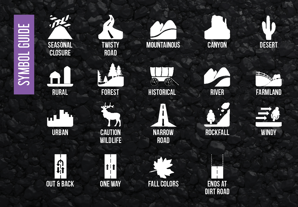
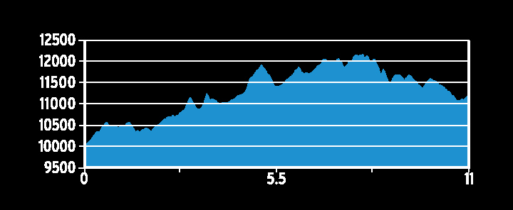
- Detailed Information | Includes written descriptions, points of interest, terrain icons, and elevation profiles of the best roads.
| Weight | .22 lbs |
| Dimensions | 9 × 6 × .25 in |

