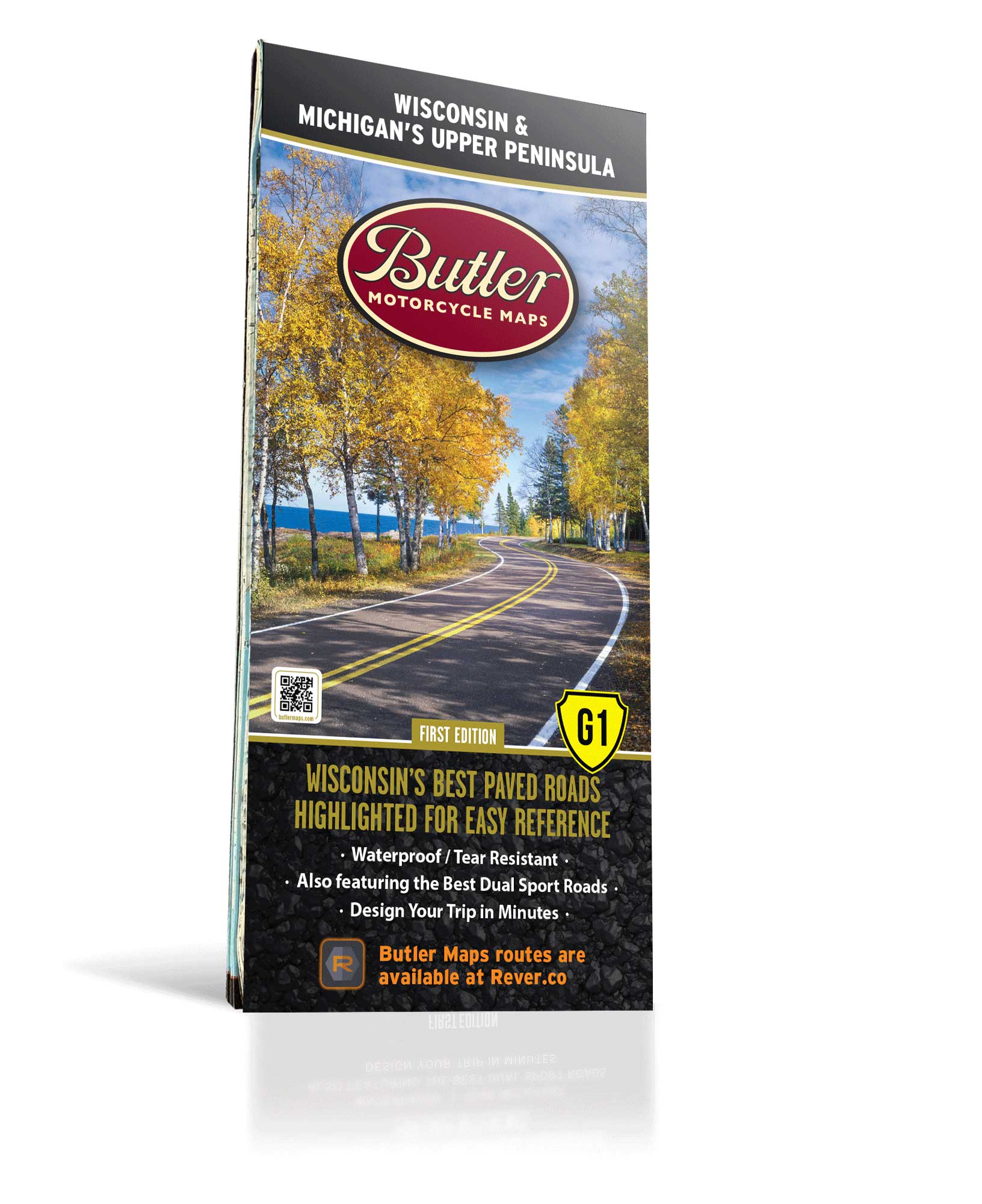
Best Paved Roads in Wisconsin and Michigan’s Upper Peninsula - G1 Series Map
First Edition
Couldn't load pickup availability
Wisconsin and Michigan’s Upper Peninsula (UP) are top Midwest areas for those looking for amazing motorcycle rides in the central part of the United States. The western part of Wisconsin features the Mississippi River and St. Croix River valleys as well as many other tributary rivers and streams, which would explain the reason for all of the winding roads in this area. The Superior Upland area (below Lake Superior and the border with Michigan) is heavily forested with rolling hills with elevations ranging from about 700 ft to slightly under 2,000 ft. Finally, the southern region of Wisconsin is a section called the Driftless Area. This beautiful and unique section of the state is characterized by jagged & rugged terrain with many cliffs and other rock outcroppings, which is sure to make your motorcycle rides an unforgettable experience.
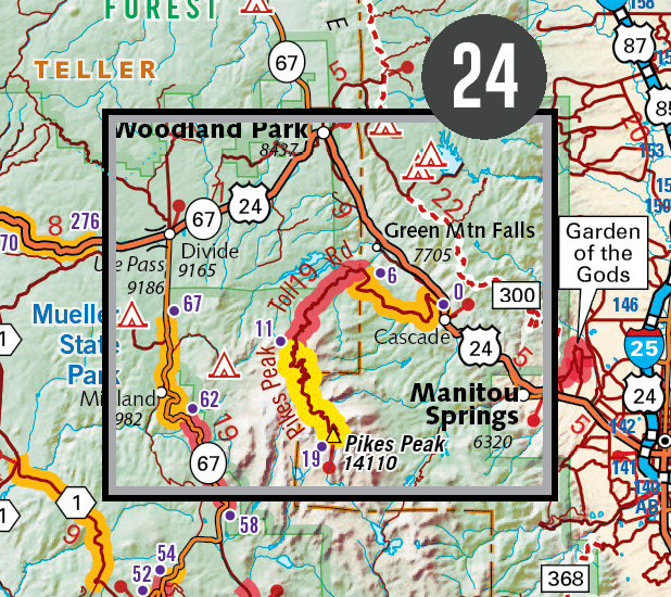
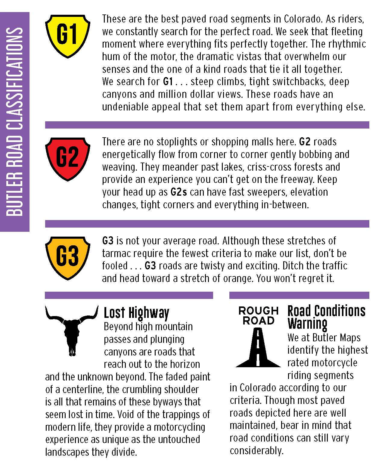
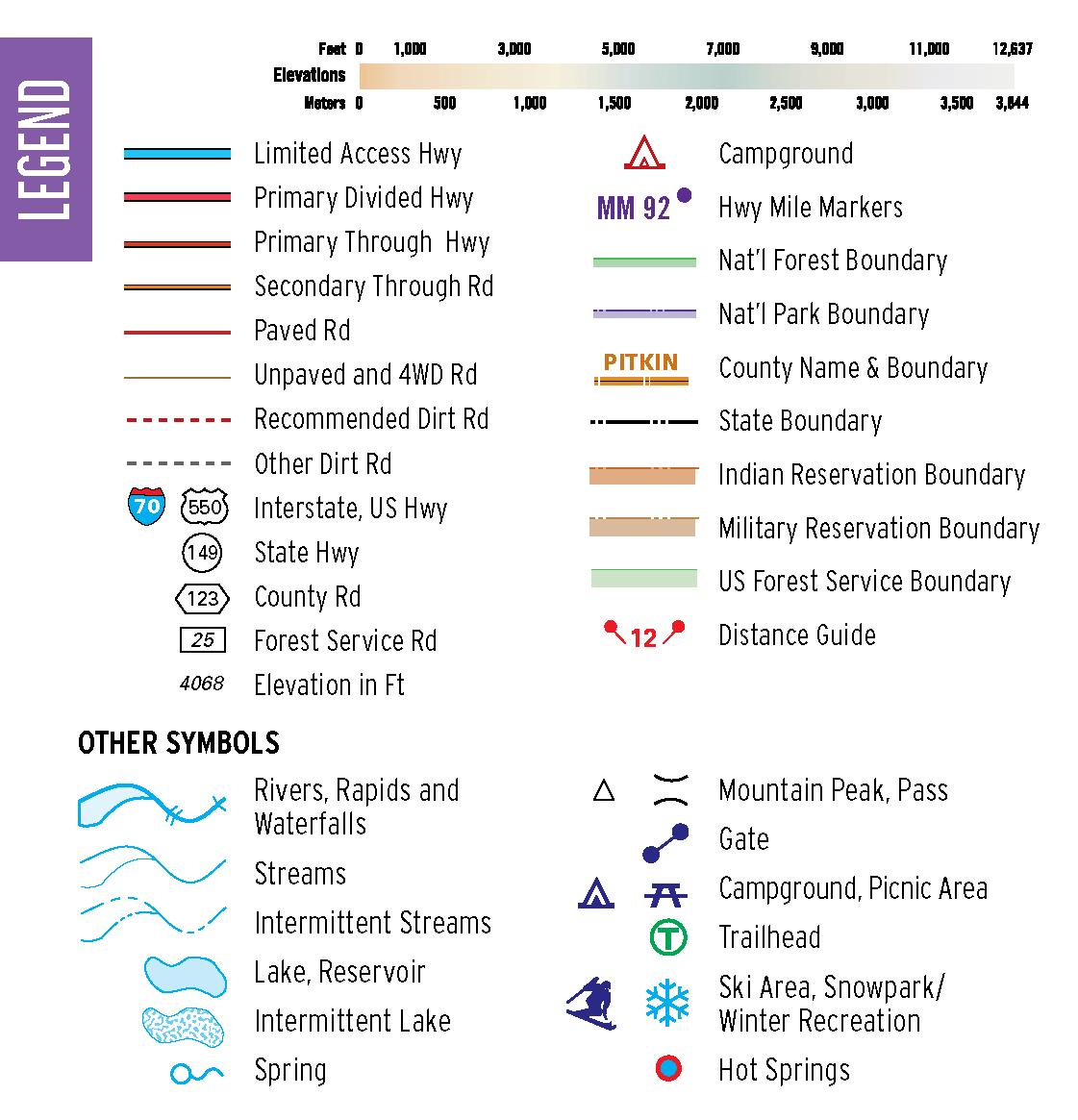
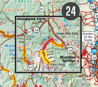
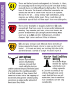
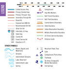
We’ve included thousands of miles of the most dramatic sections of paved and dirt roads highlighted in Butler Maps popular Gold, Red and Orange colors and are accompanied by crucial information about places to eat, sleep, fuel up and cool down. You will also find detailed inset boxes showcasing a complete list of campgrounds, town/pass elevations, trailheads, parking lots, scenic overlooks, interpretive trails, contour intervals, secondary/tertiary roads as well as all dirt thoroughfare options through the Midwest’s varied landscape. Every Butler Maps G1-Series map is printed on “Trail Tough" waterproof, tear-resistant paper called HopSyn. A full alpha-numeric grid is printed on the map to aid with navigation and orientation.
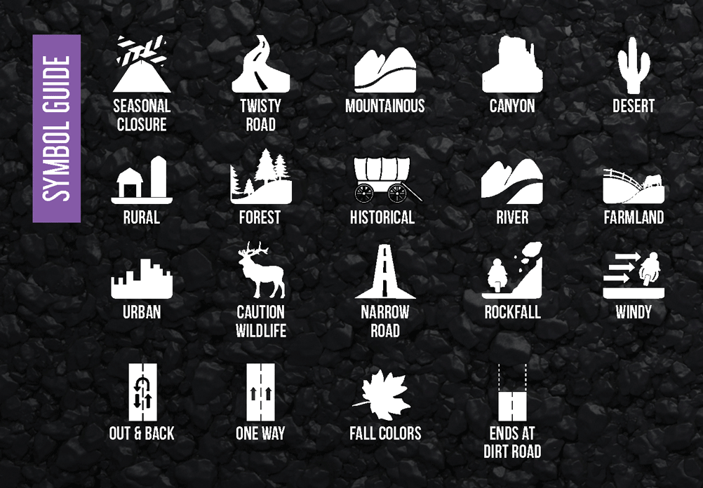
All of our G1-Series paved road maps also feature over 40 recommended dual-sport roads so you can opt from the best paved sections of road to the best dirt sections of road simply by following the colors and icons. Find the best riding, with the most scenic views, packed full of drama and peril in this WIsconsin/UP Michigan G1 Series Map! Other features include the Upper Peninsula of Michigan, The Minduro Cut, Wildcat Mountain Road, the Kettle Moraine as well as the Keweenaw Peninsula.
*Available for digital purchase and use in the Avenza app, and for digital use in the Rever app (with a premium subscription).
- Map Features
- Additional Information
- The Best Paved Roads Highlighted | Also, includes a selection of great dual sport roads.
- Waterproof / Tear Resistant | The road can be tough on your gear. Our maps are designed to withstand abuse.
- Packs Easily | This map folds to 4.25” x 9”.
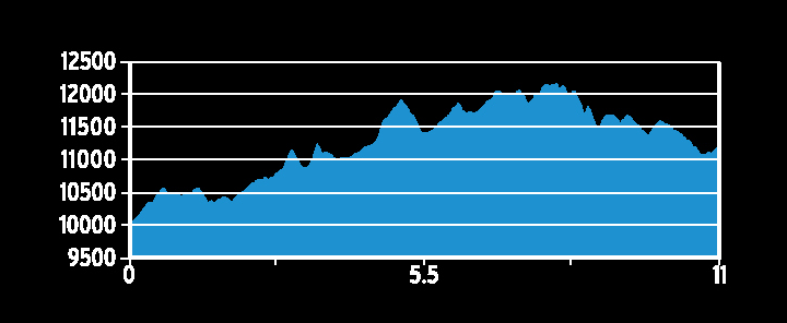
- Detailed Information | Includes written descriptions, points of interest, terrain icons, and elevation profiles of the best roads.
| Weight | .22 lbs |
| Dimensions | 9 × 6 × .25 in |

