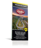
Best Paved Roads in Northern Mid-Atlantic - Northern Mid-Atlantic G1 Series Map
Second Edition
Couldn't load pickup availability
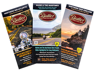
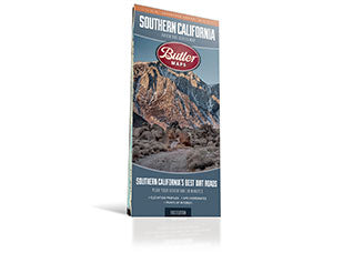
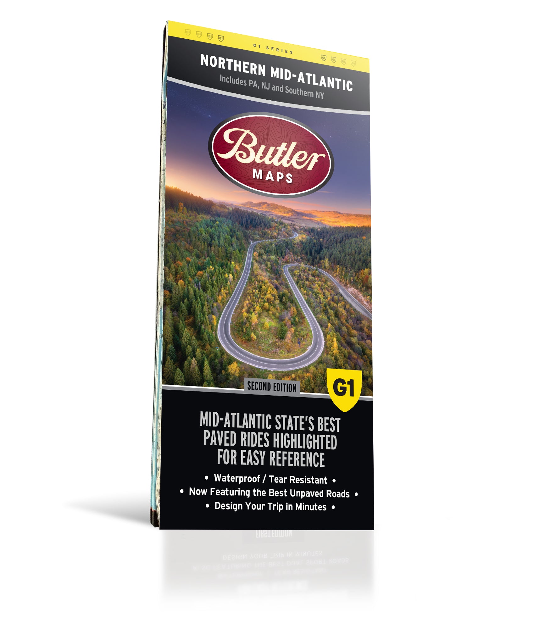
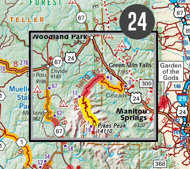
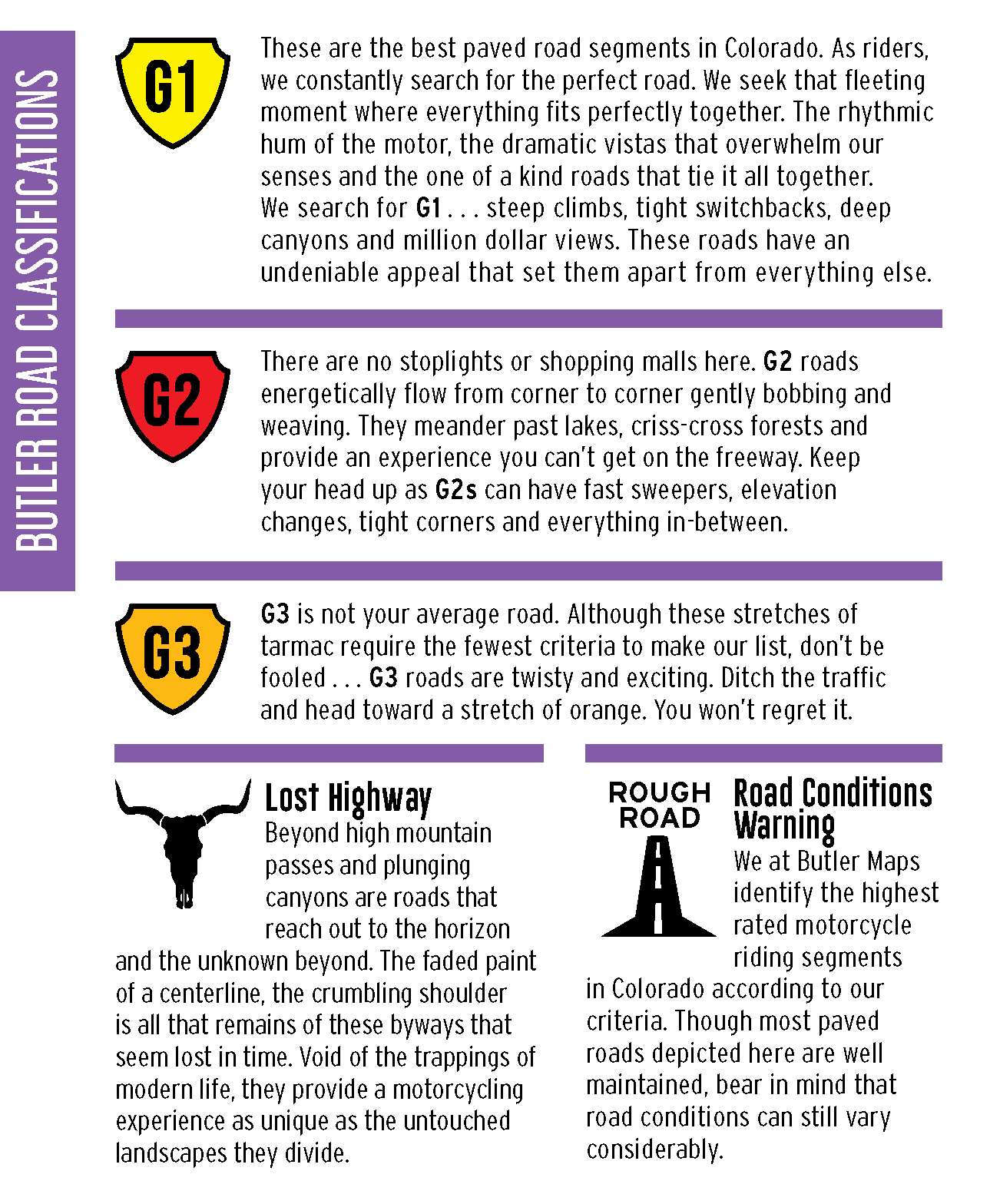
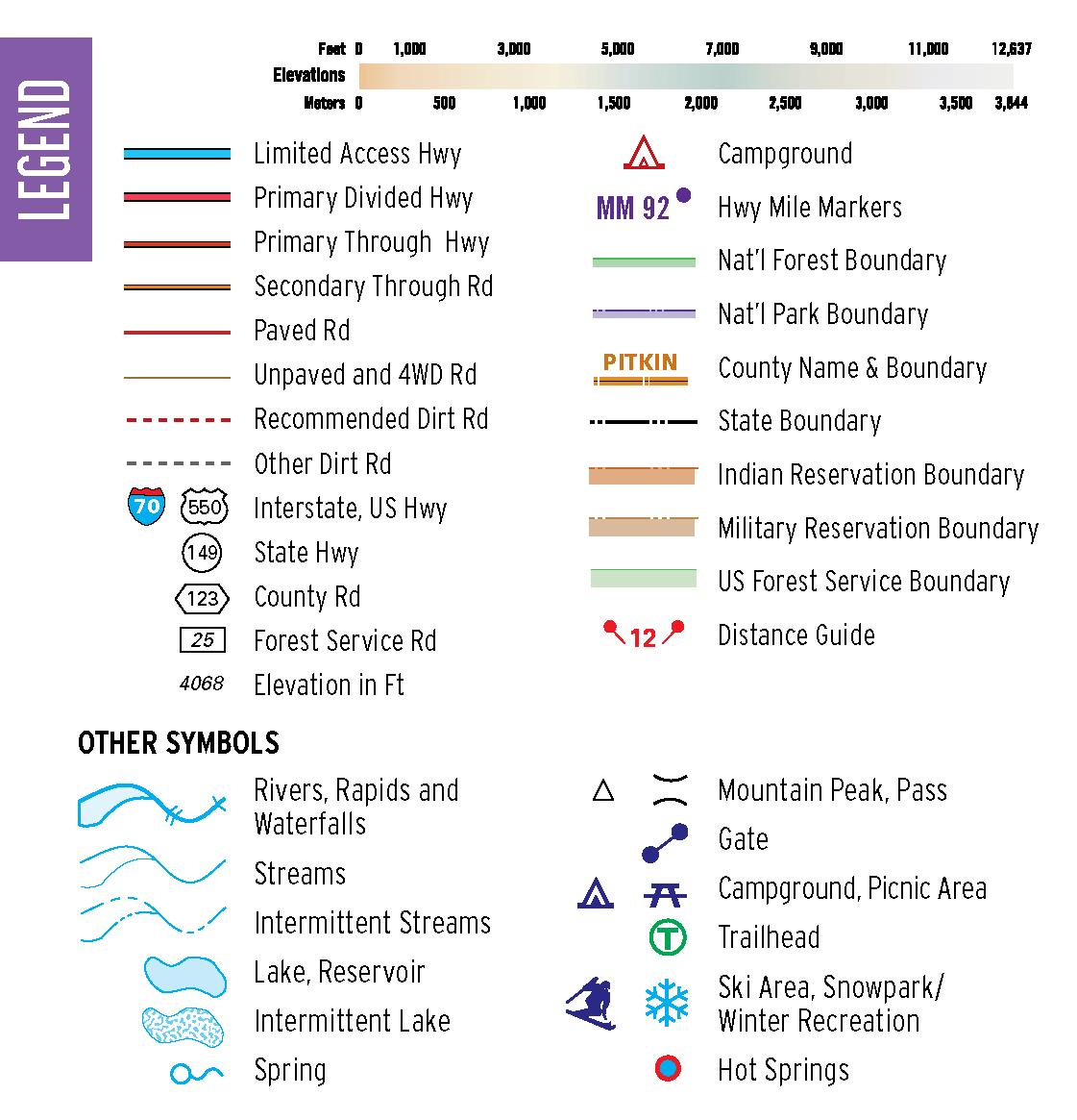
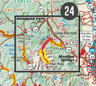
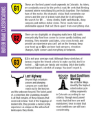
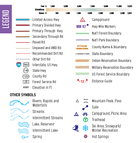
This map highlights the best paved roads in the Northern Mid-Atlantic States (Pennsylvania, New Jersey, southern New York). The Butler Maps team rode over 33,000 miles into every nook and cranny of the region in search of not only the popular rides but the obscure backroads that only the most seasoned locals know about. Butler Map’s Northern Mid-Atlantic G1-Series map is designed to meet the needs of motorcyclists with detailed and accurate cartography and loads of helpful information about the region’s many attractions. Our patented ratings will quickly and easily show you where the best sections of paved roads in the Mid-Atlantic States are. Cities and towns are easy to find with the map's helpful index. Highways, roadways, toll roads, scenic routes, and other roads are clearly designated as well as elevations and other motorcycle-specific information. Distances in miles are noted on highways so riders can easily plan their best route. Hundreds of points of interest are shown, along with national and state parks, public campsites, visitor information centers, airports, ski areas, hospitals, and more.
Twelve inset maps as well as a daytrip planner for roads around New York City provide greater detail of key areas of the region. We’ve also created iconic bucket list loops within each state that riders can experience a turnkey adventure without the need of any planning. The Butler Maps team rode over 61,000 miles in this area to bring you the best of the best. Not to mention, all of our G1-Series paved road maps also feature over 40 recommended dual-sport roads so you can hopscotch from the best paved sections of road to the best dirt sections of road simply by following the colors on the map.
Every G1-Series map is printed on durable synthetic paper, making them waterproof, tear-resistant and tough — capable of withstanding the rigors of any kind of travel.
*Available for digital purchase and use in the Avenza app, and for digital use in the Rever app (with a premium subscription).
- Map Features
- Additional Information
- The Best Paved Roads Highlighted | Also, includes a selection of great dual sport roads.
- Waterproof / Tear Resistant | The road can be tough on your gear. Our maps are designed to withstand abuse.
- Packs Easily | This map folds to 4.25” x 9”.
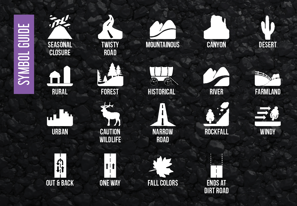
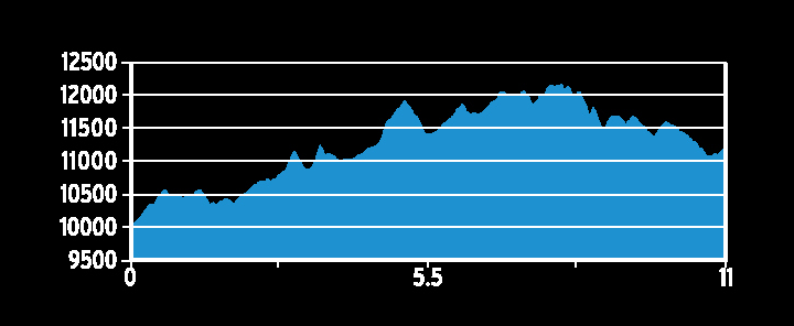
- Detailed Information | Includes written descriptions, points of interest, terrain icons, and elevation profiles of the best roads.
| Weight | .22 lbs |
| Dimensions | 9 × 6 × .25 in |

