
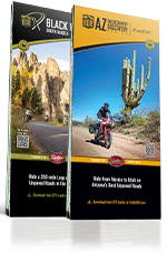


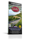

Best Paved Roads in Southern Appalachia - Southern Appalachia G1 Series Map
Fourth Edition
Couldn't load pickup availability
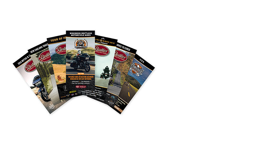
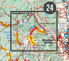
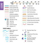
This Butler Maps G1-Series Southern Appalachia map highlights the best paved roads in Alabama, Georgia, Tennessee, North Carolina and South Carolina. With almost 45,000 miles of mapped roads in some of the most breathtaking scenery in the entire country, the Southern Appalachia G1-Series map can guide you off the beaten path and back again. The best roads are clearly marked with our patented G1, G2 and G3 rating system to help with navigation for riders. Suggested points of interest, weather and historical information, and information about other off-road rides are included to help guide you in enjoying all the Appalachians have to offer. The map base includes contour lines and elevations for summits, passes and major lakes. Some of the many recreation features include: campgrounds, trailheads, parking lots, scenic overlooks, interpretive trails, and backcountry camping zones.
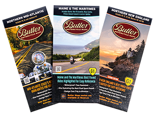
Every Butler Maps G1-Series map is printed on "Trail Tough" waterproof, tear-resistant paper. A full alpha-numeric grid is printed on the map to aid with navigation and orientation.
All of our G1-Series paved road maps also feature over 40 recommended dual-sport roads so you can opt from the best paved sections of road to the best dirt sections of road simply by following the colors and icons. Find the best riding, with the most scenic views, packed full of drama and peril in this Southern Appalachia G1 Series Map! Other features include Moonshiner 28, Tail of the Dragon–Deals Gap, Wolf Pen Gap, Talladega Highway, Cherohala Skyway, Blueridge Parkway and Great Smoky Mountains Nation Park, among many others.
*Available for digital purchase and use in the Avenza app, and for digital use in the Rever app (with a premium subscription).
- Map Highlights
- Map Features
- Blue Ridge Parkway
- Moonshiner 28
- Tail of the Dragon - Deals Gap
- Wolf Pen Gap
- Talladega Hwy
- Cherohala Skyway
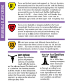
- The Best Paved Roads Highlighted | Also, includes a selection of great dual sport roads.
- Waterproof / Tear Resistant | The road can be tough on your gear. Our maps are designed to withstand abuse.
- Packs Easily | This map folds to 4.25” x 9”.
- Detailed Information | Includes written descriptions, points of interest, terrain icons, and elevation profiles of the best roads.