

Mid-Atlantic Backcountry Discovery Route (MABDR) Map – V1
$19.95
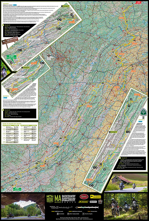
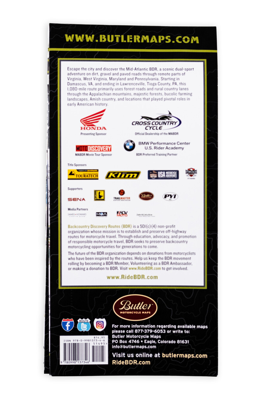
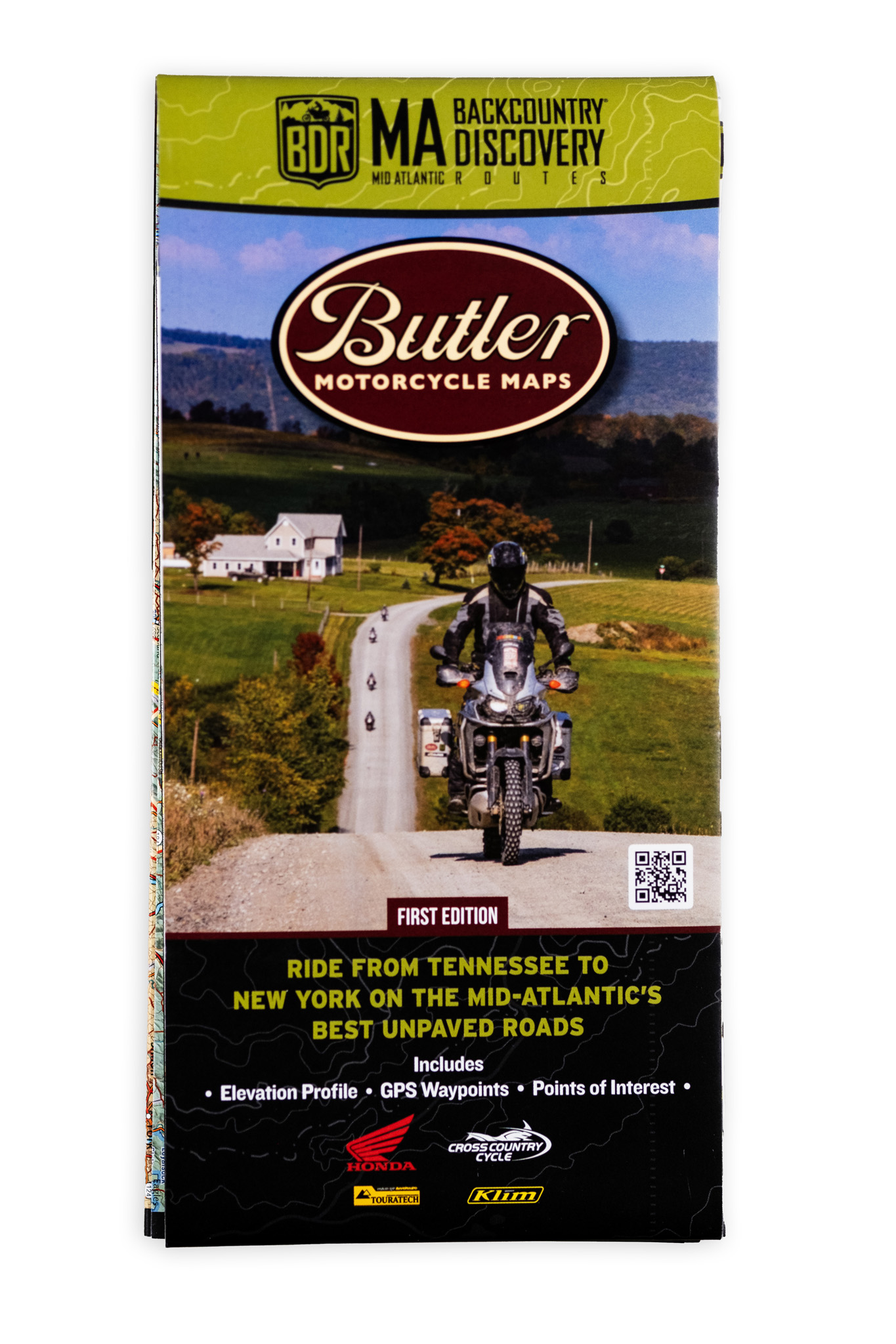
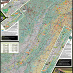
MABDR is a scenic ride for dual-sport and adventure motorcycles that uses dirt, gravel and paved roads to wind through remote parts of Virginia, West Virginia, Maryland, and Pennsylvania. Starting in Damascus Virginia, and ending in Lawrenceville – Tioga County, PA, this 1,080-mile route, primarily uses forest roads and rural country lanes, to lead riders through the Appalachian mountains, majestic forests, bucolic farming landscapes, Amish country, and locations that played pivotal roles in early American history.
- Waterproof / Tear Resistant The road can be tough on your gear. Butler Maps are designed to withstand abuse.
- Packs Easily Each Butler Map folds to 4.25” x 9” to easily fit in tank and tail bags. Butler Maps can be folded to fit within map cases.
- Description
- Additional information
- Reviews (0)
Description
MABDR is a scenic ride for dual-sport and adventure motorcycles that uses dirt, gravel and paved roads to wind through remote parts of Virginia, West Virginia, Maryland, and Pennsylvania. Starting in Damascus Virginia, and ending in Lawrenceville – Tioga County, PA, this 1,080-mile route, primarily uses forest roads and rural country lanes, to lead riders through the Appalachian mountains, majestic forests, bucolic farming landscapes, Amish country, and locations that played pivotal roles in early American history.
Additional information
| Weight | .22 lbs |
|---|---|
| Dimensions | 9 × 6 × .25 in |

Reviews
There are no reviews yet.